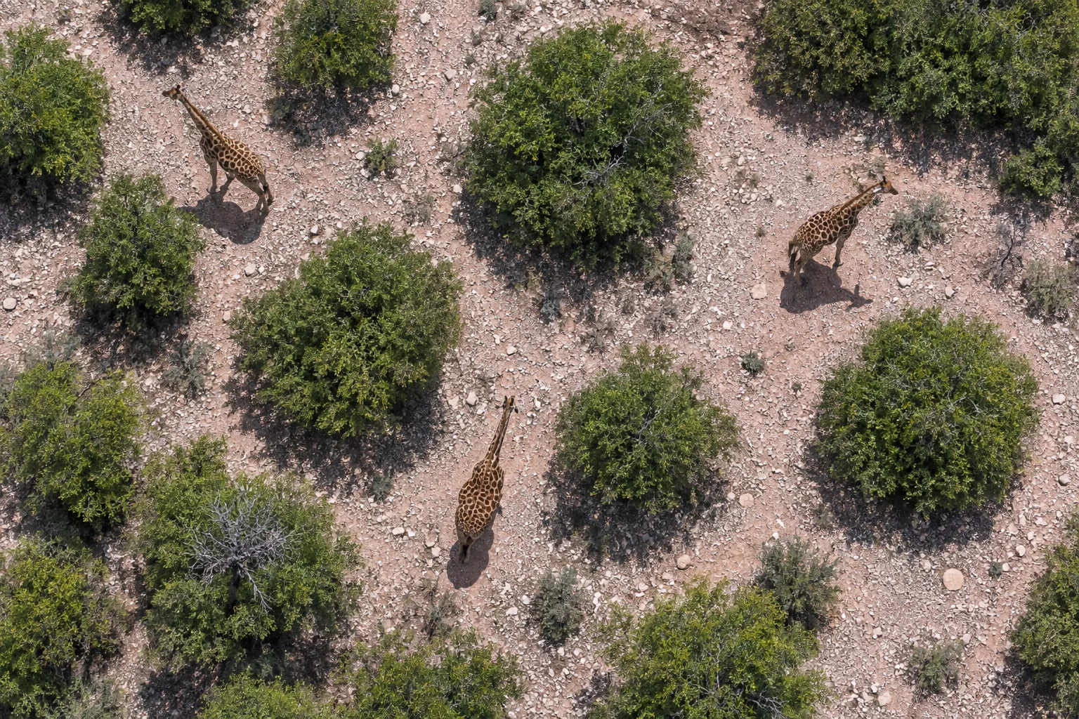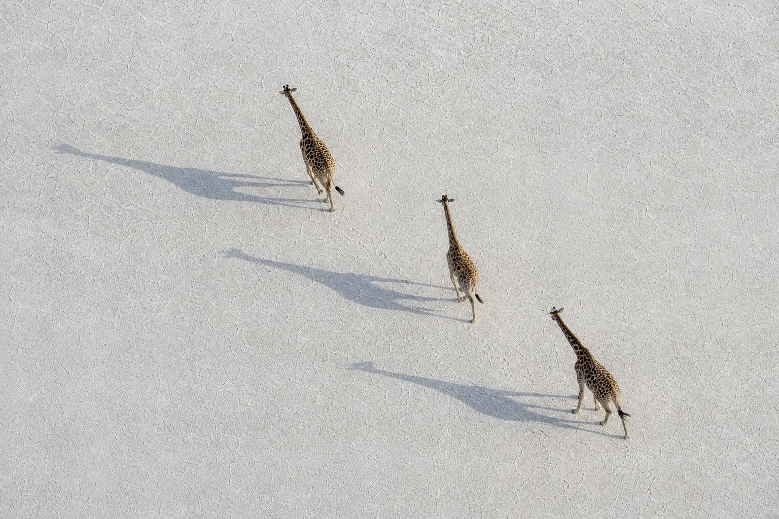
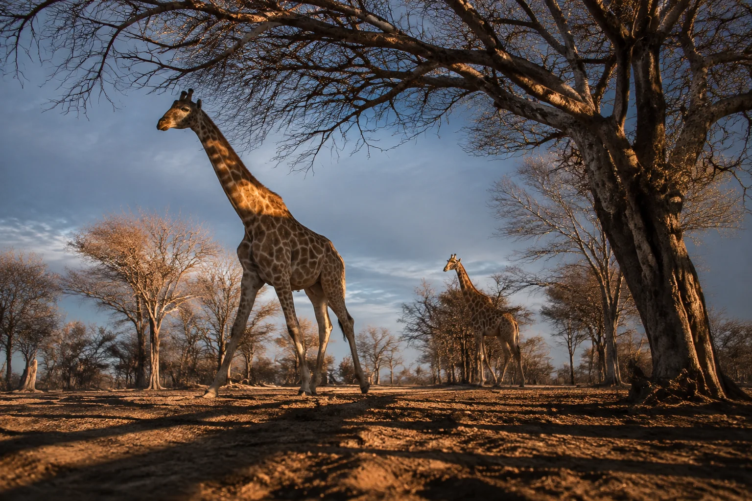
Imagine a giraffe returning to a feeding patch and finding its route blocked. The trees beyond the barrier are still standing; a satellite image might still look green. Yet part of the landscape has become harder to use. Protecting habitat means keeping that daily life possible, from finding useful leaves to reaching another feeding area when conditions change.
What are we protecting when we protect habitat?
Habitat protection preserves the conditions that let animals live in a place. For giraffes, the useful picture includes food plants, access to resources and the surrounding landscape. A protected boundary can support that work, but the boundary and the ecological result are different things.
Start with three questions: what can giraffes use here, can they reach it, and will it remain available? They turn an abstract promise to protect land into something a reader can investigate. They also connect work at different scales: a browsing observation at one shrub, repeated use of a feeding area, and movement between larger habitat patches.
In practice, that can mean retaining locally important browse, keeping routes between habitat areas open, addressing identified barriers and coordinating management across boundaries. The choice starts with what is needed locally.
For the geographical starting point, see where giraffes live. For the wider pressures, see giraffe threats. This guide focuses on the practical ecological question: what must habitat protection keep working?
For quick definitions of habitat, home range and connectivity, use the giraffe conservation glossary.
Protect browse, not just green cover
A shrub with different value to different animals
Levi and colleagues' 2022 Tarangire study offers a useful surprise. Researchers compared plants giraffes ate with plants available nearby and across the landscape. In their sampled wet and dry periods, giraffes selected the native shrub Dichrostachys cinerea at both scales—even though some livestock managers regarded its spread as a problem for grazing.
The field observations took place in March–April and August–September 2019. This was a study of food selection, not an experiment measuring the effects of clearing shrubs. Its conservation implication is nevertheless important: removing vegetation to favour grazers may also remove food used by browsers.
That does not make every spreading shrub beneficial, or provide a planting prescription for another country. It makes local knowledge of the plants and the animals using them essential to the decision.
What should a vegetation report tell us?
“Tree cover increased” is a starting observation. A more informative account identifies what grew, where, and whether giraffes use it. It asks whether a project is maintaining an existing food resource, restoring a depleted one or changing vegetation for another purpose.
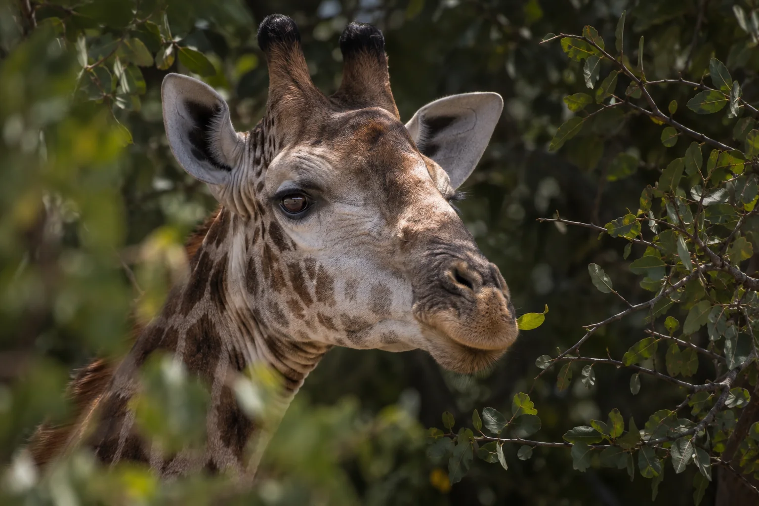
The giraffe diet guide explains browsing in more detail. Here the habitat lesson is to connect vegetation with use. A photograph of lush greenery is not a substitute for knowing which plants are present and available to the animals.
Keep options open as conditions change
Space needs are not one fixed acreage
Brown and colleagues' 2023 movement study analysed 148 giraffe trajectories across all four species, selecting animals whose tracks showed recurring use of an area. Higher average greenness was associated with smaller home ranges and less daily travel. Woody vegetation also mattered, but its relationship with home-range size depended on greenness. More variable resources were associated with larger ranges.
Greenness was measured across space and time; the woody-vegetation estimate came from a fixed historical layer. Neither directly measured an animal's food intake. This was not a test of habitat restoration.
Its useful lesson is that space use depends on context. More travel can accompany dispersed resources. Less travel can accompany abundant resources—or constraints on movement. Overall human disturbance was associated with smaller ranges and reduced travel. A compact track is therefore not, by itself, evidence that an animal has everything it needs.
Ask what changes between visits
A habitat account becomes more useful when it follows the same place through changing conditions. What was available during the observation period? Which resources were used later? Did a movement route remain accessible?
Those questions help explain why one visit cannot answer every planning question. They are not a claim that all giraffes make the same seasonal migration. The conservation aim is to retain useful options, with observations showing which options matter locally.
What breaks a habitat connection?
Habitat loss removes usable places. Degradation changes their condition. Fragmentation separates remaining areas or makes movement between them harder. These processes can overlap, but distinguishing them helps identify the problem that an action is meant to address.
Crego and colleagues' 2021 Laikipia study considered connections through a landscape containing conservancies, a forest reserve and other land uses. Its models combined occurrence evidence with fences, gaps and land-use information. This shows why the land between protected areas belongs in the conservation question.
The models used eight dry-season aerial surveys from 2001–2016. In a separate check involving three adult reticulated giraffes, recorded locations and paths corresponded to lower modelled resistance than random comparisons. That helps target field checks; it does not verify every predicted route or a restoration benefit. Some barrier values relied on expert judgments.
A connection is therefore something to investigate, not just draw. The corridor evidence guide compares maps, observed movements, genetic evidence and management commitments. Our GPS-to-corridor commentary explains how observations become predictions and why independent checking matters.
Turn habitat evidence into a protection plan
The table below is an original reading framework, not a site assessment or a guarantee that an intervention will work. Each row pairs a habitat function with a possible response and the evidence that would make its purpose understandable.
| Habitat function | What a response might address | What useful follow-up would show |
|---|---|---|
| Food plants remain available | Retain important browse or restore a depleted resource | Which plants persisted, where, and whether giraffes used them |
| Resources remain reachable | Maintain a connection or address an identified barrier | Movement observations before and after, including any remaining constraints |
| Habitat works beyond one favourable visit | Protect resources used under different conditions | Comparable observations across relevant periods, not only a launch photograph |
| Protection lasts across boundaries | Coordinate management of connected areas | Clear responsibilities, compatible decisions and continued ecological monitoring |
An action should respond to an identified problem. If vegetation is being removed, a movement map alone cannot show that food remains. If a route is blocked, planting inside one isolated patch does not demonstrate restored access. If the claim concerns population recovery, vegetation and tracking observations need to be connected to population evidence.
This is also why a hectare total is incomplete rather than meaningless. Area tells us scale. The rest of the account should explain what that area contributes, what threatens its function and how the chosen response is expected to help.
Work across a shared landscape
The IUCN connectivity technical note treats corridors as supporting connections between core habitats, not substitutes for those habitats. It links ecological objectives with governance and long-term management, and allows compatible human activities where conservation objectives are supported. This is a planning framework, not proof that a named giraffe project has achieved fair or lasting outcomes.
Make responsibilities explicit: who maintains an agreed connection, how decisions account for neighbouring land, and how people affected can raise concerns. Then report residents' experiences alongside wildlife observations, keeping each grounded in its own evidence. Promised jobs or tourism benefits should not stand in for documented outcomes.
A small habitat-reading exercise
Imagine two hypothetical proposals. One protects a large block with many trees but provides little information about the plants or connections to surrounding land. The other concerns a smaller area between two feeding patches and reports repeated giraffe passage through it.
Which is better? There is not enough information to rank them. The larger block might contain important habitat; the smaller area might maintain useful access. Neither description tells us the full condition, pressures or future management of the landscape.
Instead, ask a better next question for each. For the large block: what resources does it provide, and when are they used? For the connecting area: which movements were observed, over what period, and what could interrupt them?
The exercise replaces an automatic preference for the bigger headline with a clear request for the missing evidence.
How can we tell whether protection is helping?
Follow the same question over time
A useful baseline records the condition before an action. Later observations should revisit the question the action was meant to address. Keep the place, season and method comparable where possible, and explain changes that could affect the interpretation.
For example, a report on a restored connection should show more than its location. It should distinguish work completed, animals recorded using the area and any later evidence of wider benefit. These are successive questions, not interchangeable labels.
Welcome useful partial results
A clear early result can be valuable even when longer follow-up remains necessary. Perhaps vegetation has persisted but animal use is not yet known. Reporting that distinction creates a useful next step instead of concealing uncertainty behind “success”.
The conservation evidence guide compares measured local gains. The survey-methods guide explains why counts and movement records answer different questions. For readers deciding how to engage with conservation claims, the how to help guide offers a practical next step.
What to remember
Protecting giraffe habitat means keeping a landscape usable, not just keeping it green on a map. Useful food plants, access between places and continued function under changing conditions belong together.
The strongest public explanations connect an identified problem, a plausible response and observations of what changed. Area, vegetation, movement, population trend and local experience each add information. None should silently stand in for all the others.
Frequently asked questions
Is planting trees enough to protect giraffes?
Not on its own. A habitat account needs to explain which plants are appropriate locally, what resource they provide, whether they persist and whether giraffes can reach them. Tree planting is an activity; a functioning habitat is the intended result.
How much land does a giraffe need?
The studies here do not provide one universal minimum. Individual space use varies with resources, landscape conditions and the period measured. A research home-range average is not a land-purchase rule or a zoo-enclosure standard.
Does a corridor map prove giraffes cross there?
No. It may identify a promising connection to investigate. Recorded movement shows use by particular animals during a defined period; longer-term population benefits require additional evidence. A model and its field check should be described separately.
Must habitat protection exclude every human activity?
The IUCN framework allows compatible activities where they support conservation objectives. What is compatible depends on the place and purpose. A project needs clear decisions and follow-up, not an assumption that all human use is either harmless or impossible.
Sources
- Levi and colleagues, 2022 — forage selection in Tarangire.
- Brown and colleagues, 2023 — pan-African giraffe space use.
- Crego and colleagues, 2021 — Laikipia habitat connections.
- IUCN WCPA, 2020 — connectivity Technical Note 3.
Reviewed 10 September 2026. This is a general-reader synthesis, not a site-management prescription. The 148 figure follows the movement paper's Results. The image and two-proposal exercise are illustrative.