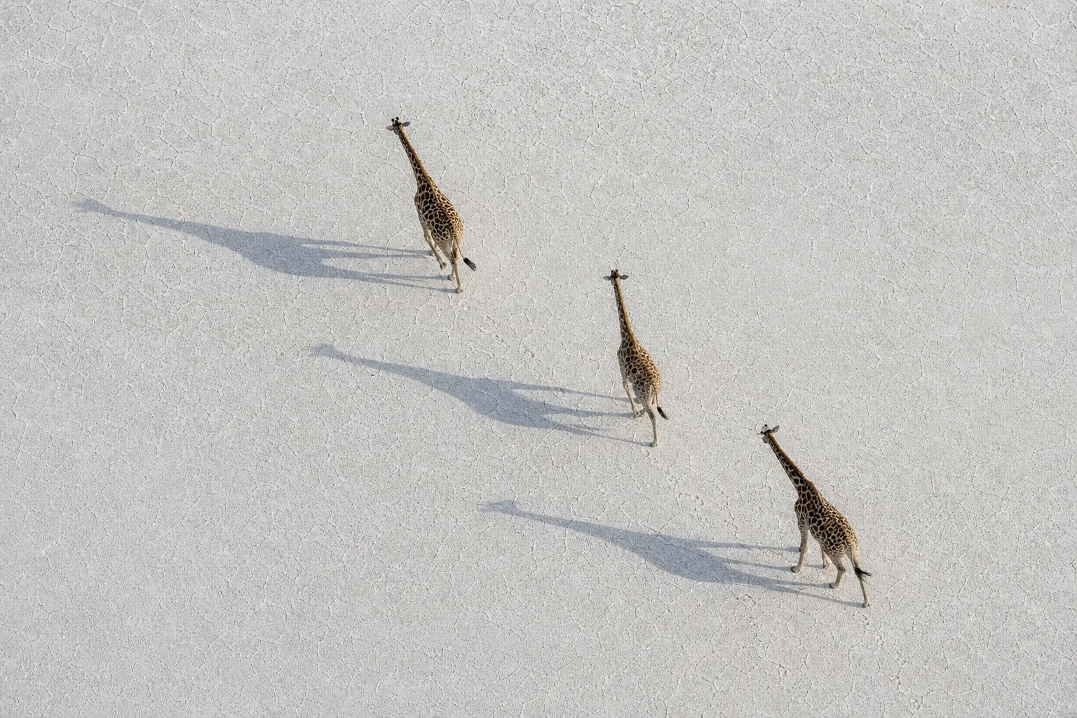
Imagine two feeding areas separated by land a giraffe cannot cross. Protecting both patches leaves the animal with a problem: the connection between them. A corridor could help, but a line on a map, a recorded crossing and an enduring management agreement tell different parts of that story. Understanding the difference makes good conservation work easier to recognise.
What is a giraffe corridor?
At its simplest, the question is whether giraffes can move between places they need. In conservation planning, “corridor” can also describe an area specifically managed to maintain that connection.
The IUCN WCPA connectivity technical note defines an ecological corridor through both geography and purpose: a defined space, governed and managed over the long term to maintain or restore ecological connectivity. Its framework calls for specific ecological objectives. A promising route drawn by a researcher and an established management arrangement are therefore different things.
A useful public explanation says which meaning it uses. Is this a potential connection, a place where animals have been recorded moving, or a managed area with a stated objective? Each can matter without being interchangeable with the others.
The habitat protection guide explains why food, space and connections belong together. Here, the narrower task is to match a claim about a corridor with the evidence behind it.
Six corridor claims, different kinds of evidence
Use this original comparison to decide what a report actually establishes. These are different questions, not a ranking from weak to strong science. The right evidence depends on what the proposed connection is meant to do.
| Claim being made | What evidence contributes | What remains separate |
|---|---|---|
| Habitat appears connected | Vegetation, land-use and barrier information describe the landscape | Whether particular giraffes can and do use it |
| A route is predicted | A model estimates relative movement opportunities under stated assumptions | Independent observations of use and current conditions |
| Giraffes crossed | Dated sightings or sufficiently detailed tracking document particular movements | Regular use, dispersal, reproduction and long-term protection |
| Animals dispersed between populations | Individual histories show animals leaving their natal or established home area and settling elsewhere | Whether those animals reproduced and contributed descendants |
| Populations exchanged genes | Genetic analyses investigate reproductive exchange over a defined timescale | The exact route and whether the same connection operates today |
| A corridor is managed | Documented objectives, responsibilities and management arrangements describe the commitment | Whether the intended ecological outcome is being achieved |
For example, genetic evidence may be highly informative about exchange across generations but poorly suited to identifying which opening an animal used last week. A tracking record may answer that immediate question while saying nothing about reproduction. Neither result makes the other unnecessary.
Likewise, a management document can explain responsibility and intended continuity without measuring animal movement. Reading ecological and management evidence together avoids asking either to do the other's job.
Choose the movement question first
Reaching food is not the same as dispersing
A proposed connection might be intended to let animals reach another feeding area within their usual range. Repeated use at the relevant time is then central to the question. There is no reason to require proof of reproduction between populations if that was never the objective.
Dispersal asks something different: did an animal leave its natal or established home area and settle elsewhere? Recognising the same giraffe on opposite sides of a survey boundary does not necessarily answer that. Its usual home range might already straddle both areas.
Breeding exchange is a further question
Movement makes reproductive exchange possible; it does not demonstrate that it happened. Genetic evidence can help investigate exchange, but its timescale and model assumptions matter. Historical similarity is not a dated observation of a recent crossing.
The genetics guide explains why different inherited markers record different histories. For corridor reading, ask what period the analysis represents and whether the result identifies a route or only a relationship between populations.
A connection need not be one narrow line.
Modelled movement potential can be spread across several alternatives. A model that finds diffuse opportunities is not necessarily failing to find the one “real” corridor. Its result may suggest that the landscape offers more than one possible path under the model's assumptions.
That changes the reader's question from “Where is the line?” to “Which connections and alternatives does this analysis describe?” It still takes field evidence and local decisions to interpret what should be maintained.
Four giraffe studies show the distinctions
A prediction can be checked with separate movements
Crego and colleagues' 2021 Laikipia study combined occurrence information from eight dry-season aerial-survey rounds with landscape and barrier information to model connectivity. A separate check used tracking from three adult reticulated giraffes. Their recorded locations and paths corresponded to lower modelled resistance than random comparisons.
The comparison gives the prediction an empirical check. Three animals do not verify every mapped route, every season or an improvement caused by restoration. The important contribution here is the explicit distinction between constructing a prediction and checking it against movement evidence.
GPS-based predictions still extend beyond observations
Boudreaux and colleagues' 2026 Laikipia study used selected tracking records from 14 reticulated giraffes to develop seasonal movement and connectivity models. Its combined-area result showed mostly diffuse potential flow, rather than one prominent connected pathway.
The wider map was generated through modelling; it was not a record of giraffes passing through every cell. Our GPS-to-corridor commentary follows that process and explains why a visual match with input tracks is different from wholly independent validation.
Repeated sightings can connect survey areas
Lee and Bolger's 2017 Tarangire study used repeated photographic identification of female giraffes during 2012–2014 to estimate seasonal movement among five subpopulations. Seeing recognisable animals again made it possible to study transitions between survey areas.
Those transitions did not reconstruct every intervening journey or prove that movers bred after arrival. The authors also considered home ranges straddling boundaries and seasonal shifts as explanations for some observations. Our survey-methods guide explains what encounter histories can contribute when animals are not continuously observed.
Inherited history is not a present-day crossing record
Lohay and colleagues' 2023 Masai giraffe study examined genetic structure across the Gregory Rift. Mitochondrial and nuclear evidence informed interpretations of historical exchange. Terrain analyses suggested possible routes, but the paper did not report observed giraffe crossings at the proposed passes.
The Rift genetics commentary explains the differing inherited histories and uncertainties. For this guide, the lesson is simpler: a genetic relationship and a plausible landscape route do not together become an observed journey.
Follow one imaginary connection
Return to the two feeding areas in the opening. The following is a hypothetical reading exercise, not a real project or a required sequence for every corridor.
A habitat map shows a possible connection. A careful first sentence is: “The landscape contains a candidate link worth investigating.” You still need to know what the map captures and what it misses.
A model then predicts relatively easy passage. You can add: “The model identifies a potential connection under its stated assumptions.” Its usefulness lies in focusing questions and observations, not in silently converting prediction into use.
Next, one tagged giraffe is recorded moving between the areas. That adds evidence of movement between the recorded locations. Further records from several animals across relevant periods could establish a broader pattern of use. Neither step automatically demonstrates dispersal or reproductive exchange.
Suppose local arrangements also set out who will maintain the connection and what activities are compatible with its purpose. That adds a management commitment. Follow-up can then ask whether the connection remains usable and whether the stated objective is being achieved.
The story is more informative with each claim kept precise. It does not need to end with a genetic result if the original purpose was seasonal access to food. Nor would a genetic result eliminate the need to understand present barriers and long-term management.
Five questions before sharing a corridor claim
Use these questions when reading a map caption, project account or research summary:
- A connection between what? Identify the habitat areas or populations involved. A link across survey boundaries is not automatically a link between distinct populations.
- For which movement? Routine access, seasonal use, dispersal and reproductive exchange need different observations.
- For which animals and period? Keep the species, sampled individuals, seasons and dates attached. One observation period cannot certify permanent use.
- Measured how? Distinguish a prediction, direct observations, estimated transitions and genetic inference. Ask whether checking data were independent of model-building data.
- Maintained by whom? Look for a stated purpose and management responsibilities, then separate the documented commitment from evidence that it delivers the intended outcome.
These questions also help give research teams appropriate credit. A well-constructed predictive map can be valuable before every pathway has been observed. An honest account of its purpose and limits shows what the work contributes and what the next investigation could add.
What to remember
A useful giraffe connection has a purpose. Evidence should show whether it serves that purpose, rather than collect impressive-looking maps or statistics that answer different questions.
Habitat information, models, observed passage, dispersal, reproductive exchange and management each add something. Read them together without treating them as synonyms. The conservation glossary is a quick reference for the terms; the linked commentaries explain the individual studies in depth.
Frequently asked questions
Does a corridor map prove giraffes use it?
No. Establish whether it maps observations, a modelled possibility or an agreed management area. A prediction can guide field checks without being a record of actual passage.
Does one GPS track establish a successful corridor?
It can document movement by that animal during the recorded period, subject to the track's accuracy and recording interval. Wider or longer-term success depends on the objective and further evidence. Movement between recorded points is not continuously observed.
Can gene flow tell us the exact route?
Not by itself. Inherited patterns can inform reproductive exchange and population history under a model. They do not automatically locate the path an individual took or establish that it remains open today.
Is a predicted route already protected?
A model does not create a management agreement or designation. Those require their own documentation. Conversely, an agreement does not remove the need to examine the ecological connection it is intended to maintain.
Sources
The five primary or institutional sources are linked beside their claims. The IUCN source is its four-page 2020 technical note, not a review of every national corridor designation. The Crego and Boudreaux examples use the relevant methods and results; the Lee–Bolger and Lohay examples use scoped main-text methods, results and discussion. Existing detailed commentaries retain their separate full-source review records.
Sources checked 10 September 2026. The comparison table, reading exercise and checklist are original editorial aids, not source figures, field findings or a universal project standard. No precise wildlife routes, restricted records or full papers are republished. The hero is an imagined illustration and provides no evidence of corridor use.