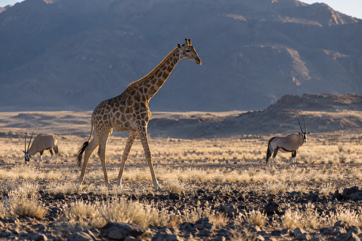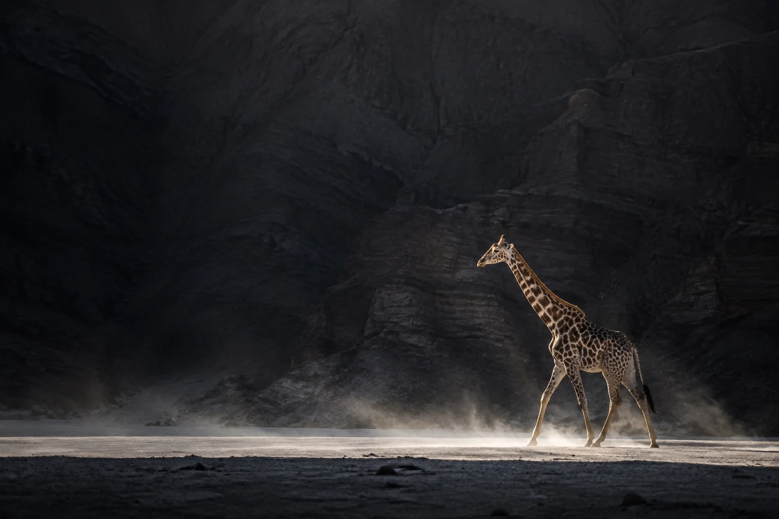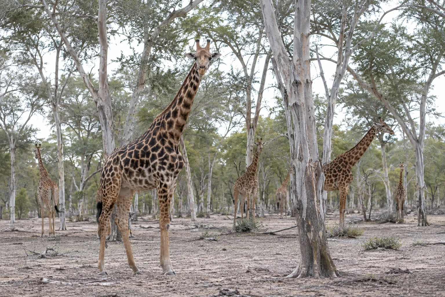
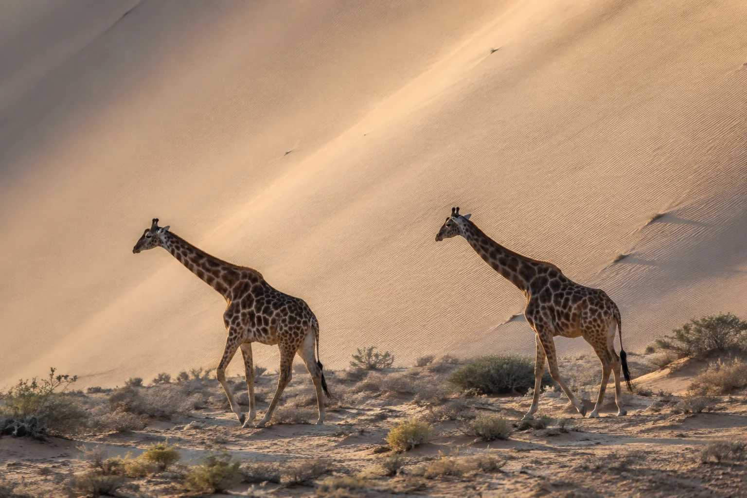
Thirteen giraffes can look like a modest demand on a large reserve. At NamibRand, on the edge of the Namib Desert, that impression leaves out where their food actually grows. The animals ranged across extensive areas but repeatedly used riverbeds, tributaries and particular patches of woody vegetation. Most of the landscape was not an interchangeable supply of leaves.
Zazapamue Hange and colleagues followed this small Angolan giraffe population for 13 months. Their study, published in 2025, connects a population census to the spaces and plants the animals used. Its strongest conservation lesson is about access: a small number of giraffes can depend on resources scattered across a much larger area. Its description of a small, stable population should not be mistaken for a demonstration that the animals are secure through future droughts or habitat fragmentation. The primary paper provides a detailed local baseline, rather than a long-term population forecast.
Following individuals through a dry reserve
NamibRand occupies a transitional landscape between the Namib Desert and Nama Karoo. Rainfall is scarce and variable. The paper reports a reserve average of 88 millimetres a year over 2000–2023, with much wetter and much drier years inside that record. Those conditions help explain why the distribution of browse matters at least as much as the reserve’s total area.
From April 2021 to April 2022, the researchers actively searched for giraffes on an average of five days each month. They travelled reserve tracks and potential habitat, supplemented by opportunistic observations from reserve staff. Photographs of each animal’s coat pattern, together with other visible features, allowed sightings to be assigned to individuals.
The population they described comprised seven adults, three subadults and three juveniles. Two calves were born during the study. These are observations of age structure and births within a short period; they are not a complete accounting of population growth over many years. The presence of adults and young animals does not, by itself, establish how reliably calves will reach breeding age or whether deaths will be replaced over successive dry years.
The same field encounters supplied records of location and feeding. This made the project richer than a count alone, but the information still came from the times and places where observers found the animals. These were not continuous GPS tracks recording every journey, including movements at night.
A home range is a measurement, not a solid block of habitat
Using one method, the researchers estimated individual ranges between 71 and 521 square kilometres. The method draws a polygon around a selected proportion of recorded locations. It is useful for describing the spread of sightings and comparing with studies that used the same approach, but it can include unsuitable land between places the animal actually visited.
A second method estimated a smoothed distribution of use around the locations. It produced substantially larger areas. For example, the male with the largest polygon estimate, 521 square kilometres, had an estimate of roughly 1,378 square kilometres under the second method. These figures are two representations of the same observation record, not evidence that his movements changed between analyses.
That discrepancy is consequential. It prevents a simple prescription such as allocating a fixed number of square kilometres to each giraffe. Estimates depend on the method, the number and distribution of observations, the duration of tracking, and the habitat enclosed by the calculation. Animals also shared substantial parts of their estimated ranges, so adding the individual areas would exaggerate the land used collectively.
Females had a larger mean polygon range than males, but the paper did not find a statistically significant difference in those comparisons. Both the smallest and largest individual estimates belonged to males. With so few animals and such variation, the averages do not establish a general rule that female desert giraffes range farther than males.
The map and field observations tell a more concrete story than the averages. Giraffes used vegetated drainage features, and some travelled beyond reserve boundaries. The researchers did not observe them using the thick sand dunes that separated parts of the population’s activity. Their interpretation was that soft sand could constrain movement even where useful trees occurred. The study did not experimentally test the energetic cost of crossing dunes, but it clearly showed that a large outline around sightings did not mean uniform use of everything inside it.
One tree dominated the feeding record
The team recorded giraffes eating 18 identified plant species. Yet the food record was strongly concentrated: camelthorn, Vachellia erioloba, accounted for 53% of 5,470 feeding observations. Parkinsonia africana followed at about 13%, with Boscia foetida and Senegalia mellifera each contributing around 6%.
Those are frequencies of observed feeding on plants. The researchers did not weigh bites, measure total intake or chemically reconstruct the whole diet. A plant supplying half the observations need not supply exactly half the dry matter or energy. Keeping that distinction clear allows the result to say what it does show: camelthorn was the most repeatedly used food plant in this population’s observed foraging.
Its importance persisted through the seasons. Camelthorn’s share ranged from about 46% of feeding records in the wet season to 59% in the cold, dry season. Other foods gained or lost prominence. Parkinsonia africana, for example, contributed a larger share during the wet season. This was a diet with a strong year-round centre and seasonal adjustments around it.
Some records involved tsamma melon, Citrullus lanatus, including its fruit. That observation broadens the picture of what these giraffes used in an arid landscape. It does not show how much water they obtained from fruit or demonstrate that fruit consumption removed their need to drink. The study observed food use; it did not measure water balance.
Common food and preferred food are different questions
A plant can dominate a diet simply because it dominates the vegetation. To examine that possibility, the researchers compared feeding records with plant cover in 50 vegetation plots placed randomly within riverbeds and tributaries.
Camelthorn was much more prominent in feeding observations than in the cover estimate. Its rounded relative availability was about 3%, compared with 53% of feeding records. The resulting selection index classified it as preferred. Parkinsonia africana was also used disproportionately, supporting the idea that giraffes were concentrating on particular foods rather than sampling vegetation in proportion to its cover.
The comparison is useful, but its denominator deserves attention. Availability was measured in sampled drainage habitats, not by cataloguing every edible leaf throughout the reserve. Plant cover is also different from accessible browse biomass at a giraffe’s feeding height. The index therefore describes selection relative to this sampling method.
Rare plants make the limitation especially visible. Some were eaten but absent from the vegetation plots; others had values rounded to zero. Under those circumstances, an extreme selection score can reflect a very small or poorly represented availability estimate. It is not evidence of an unlimited preference, nor a sufficient basis for ranking every rare plant above camelthorn in a restoration plan.
The strongest finding survives those qualifications. A few woody species dominated observed food use, and camelthorn was both heavily used and disproportionately represented relative to sampled cover. Protecting large areas without considering those resources could miss what makes the areas useful to giraffes.
What a short baseline can support
The authors describe the population as stable, but they did not estimate extinction probability, genetic diversity or a reserve carrying capacity. Thirteen months captures seasonal variation much better than it captures the consequences of rare droughts, a succession of poor breeding years, or the loss of a small number of adults.
A separate population modelling study by Derek Lee and colleagues explains why that distinction matters. In its simulated founder populations, early demographic performance could conceal risks that emerged over a much longer period, including loss of genetic diversity. Those were conditional model results, not predictions for NamibRand: the NamibRand study did not provide all the local demographic and genetic inputs needed to make that transfer. Our commentary on founder populations examines why initial success and long-term viability are different outcomes.
The field study can still guide the next questions. Repeated identification would show which young animals survive and which adults disappear. Continued movement records would clarify whether changing resources lead animals to different areas, including neighbouring properties. Monitoring the most used plants could reveal a decline in useful browse before a change became obvious in the giraffe count. These are implications of the evidence, not interventions whose effectiveness this study tested.
NamibRand’s giraffes demonstrate that an arid landscape can support a small population using broad spaces and a concentrated set of foods. The study’s value lies in showing the components of that persistence. It gives conservation managers something more informative than either a reassuring headcount or a large area on a map: identifiable animals, particular food plants, and a landscape whose usable connections matter.
Sources
Zazapamue Hange, Julian Fennessy, Morgan Hauptfleisch, Murray Tindall, Lee Tindall and Michael B. Brown (2025). “Ecology of Angolan giraffe (Giraffa giraffa angolensis) in the NamibRand Nature Reserve, southwestern Namibia.” Journal of the Namibia Scientific Society 72, e41–e58. Full primary paper.
Derek E. Lee, Elmar Fienieg, Cock Van Oosterhout, Zoe Muller, Megan Strauss, Kerryn D. Carter, Ciska P. J. Scheijen and Francois Deacon (2020). “Giraffe translocation population viability analysis.” Endangered Species Research 41, 245–252. Primary paper.