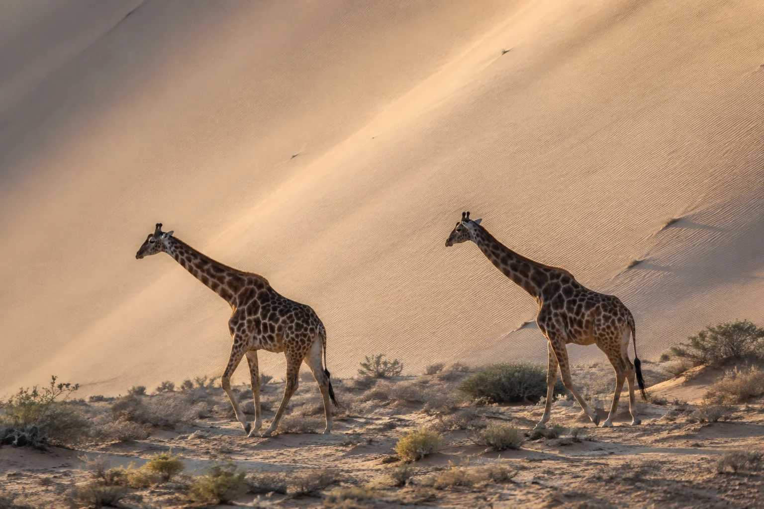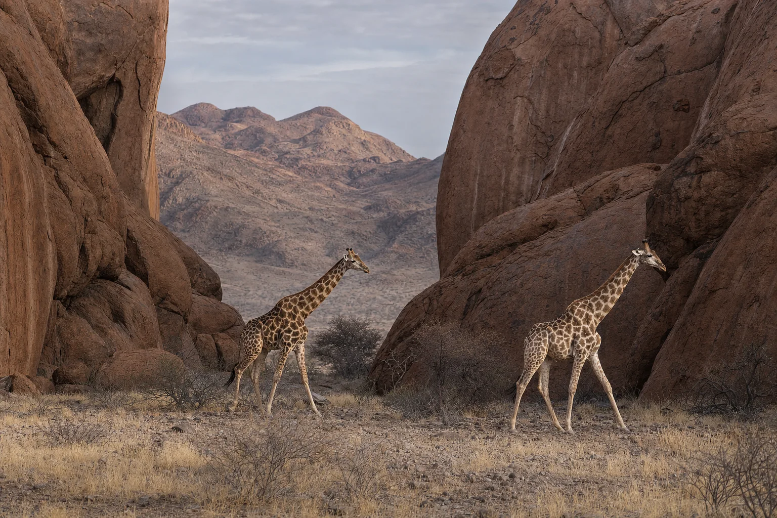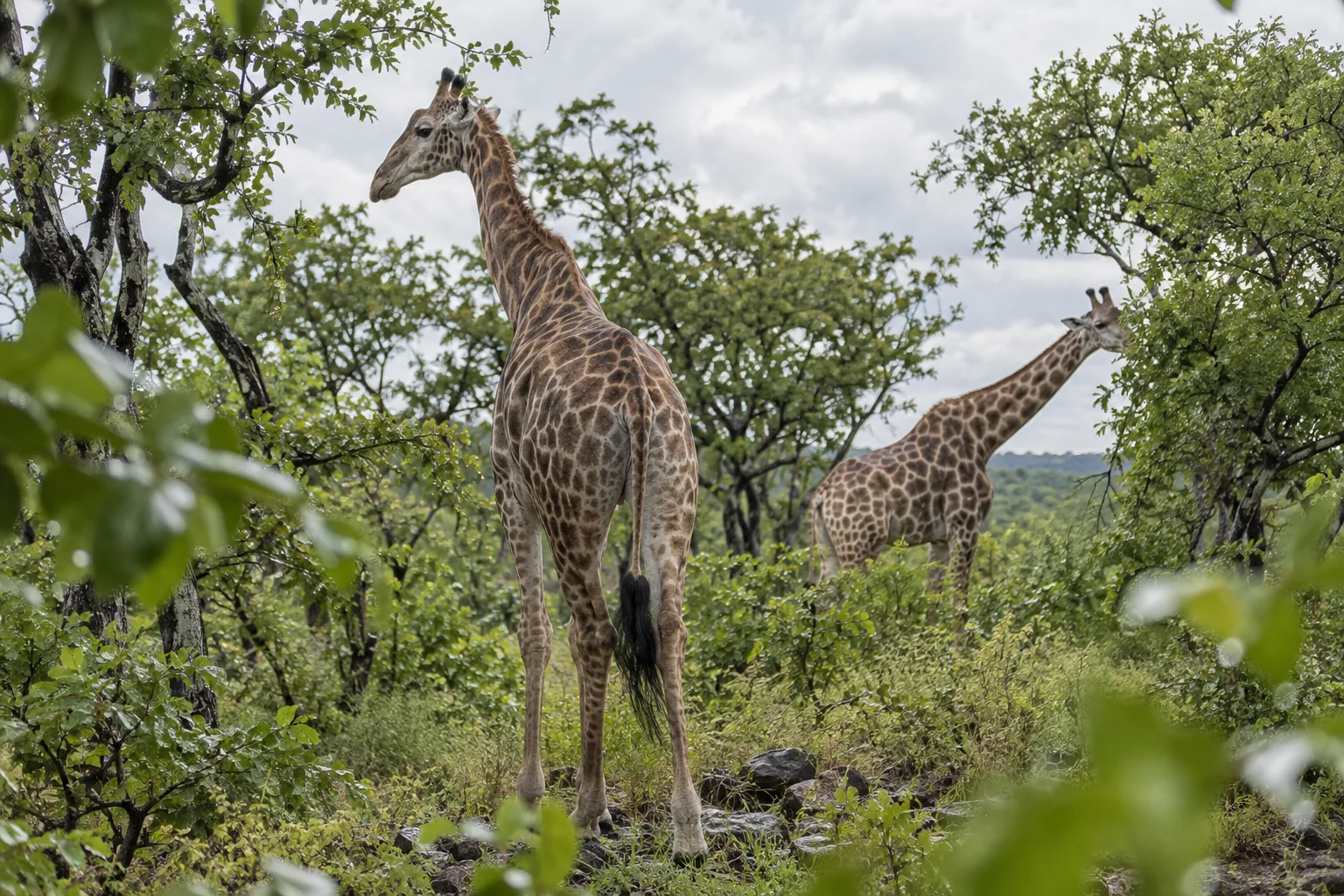
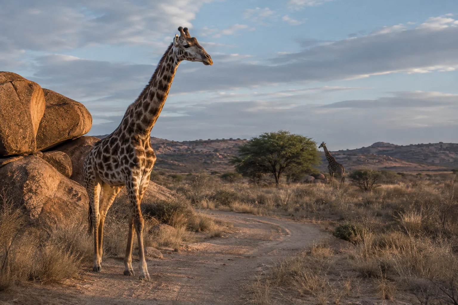
Drawing a boundary around a giraffe’s recorded movements does not establish that the animal has found a home. The same technique can enclose a familiar area visited repeatedly or a long journey through unfamiliar country. After a conservation translocation, those two patterns carry very different messages.
Shea Flanagan and colleagues examined GPS records from six Angolan giraffes moved to three regions of Namibia. Four showed movement patterns consistent with establishing home ranges. Two continued making long, nearly linear movements, producing exceptionally large mapped areas without convincing evidence that they had settled.
Their 2016 study made movement a possible early indicator of how translocated animals were adjusting. It also explained why that indicator has limits. Finding a recurring area of use is one step toward establishment; demonstrating a population that survives and reproduces without continued support requires much longer observation.
Six animals, three receiving landscapes
The GPS records came from translocations conducted in 2011 and 2012. Two collared giraffes were released in each of three regions: Zambezi, South Kunene and Otjozondjupa. The animals were young to prime-aged adults, approximately four to six years old; five were female and one was male.
They were a monitored subset of larger release groups, not the entire translocated populations. The researchers had not designed or implemented the transfers. Their opportunity was to extract useful information from collar records that were already available.
The landscapes differed substantially. Zambezi was the wettest of the three, while South Kunene was the most arid. Otjozondjupa contained a different arrangement of savannah, sandy plains and bush-encroached vegetation. Such differences made comparison informative, but they also prevented this small study from functioning as a controlled test of one environmental cause.
Observation periods ranged from 113 to 611 days. Five records ended with signal failure; one giraffe died after 113 days of tracking. Because the collars recorded at different frequencies, the team standardized the analysis to approximately one position per day.
That made the movement records more comparable without making them identical. An animal followed for 20 months had many more opportunities to reveal seasonal movements and changes in space use than one followed for fewer than four.
A polygon is a description, not a diagnosis
The researchers first calculated conventional home-range estimates. One method drew a minimum convex polygon around the locations, excluding a small proportion of outer observations for the 95% estimate. It offered an easily comparable measure of the area encompassed by movements.
A second method, based on local convex hulls, followed the shape of the used space more closely and represented intensity of use. This was useful where fences or other boundaries made a simple enclosing polygon misleading. A broad polygon can include land between recorded positions that an animal scarcely used or could not readily cross.
The resulting areas differed enormously. The two Zambezi animals had 95% polygon estimates of about 61 and 66 square kilometres. The South Kunene animals had estimates of roughly 751 and 776 square kilometres. For the two Otjozondjupa giraffes, the corresponding estimates were approximately 4,928 and 9,565 square kilometres.
Those last two values were striking, but they were not automatically evidence of enormous stable home ranges. The researchers treated that interpretation cautiously because other analyses suggested that the animals were still exploring.
This is the study’s key conceptual distinction. An estimator can return an area for almost any sequence of positions. Whether that area represents a home range is a biological question about how the animal uses and returns to space.
Three ways to look for settlement
The team sought several complementary signals of site fidelity. First, they examined how the total area encompassed by an animal’s movements increased through time. An animal continually entering new country should keep enlarging that area. An animal repeatedly using a settled range should add new space more slowly, or eventually stop expanding it during the observation period.
Second, the researchers examined whether movement directions tended to point back toward the centre of an animal’s recorded locations. A tendency to return toward a recurring central area would support localization, whereas weak directional bias would offer less evidence of a settled range.
Third, they compared the actual movements with simulated alternatives. They retained the observed distances between successive locations but assigned random directions. This asked what area the same amount of movement might encompass without the observed directional organization.
If the real animal occupied a much smaller area than these simulations, its movements were relatively concentrated. If it occupied a larger area, long and persistent directional movements could be responsible. The comparison did not require the assumption that every settled giraffe should have a small home range in absolute terms.
The authors repeated the analyses using only the first 113 days of each record, matching the shortest tracking period. That check addressed a specific concern: whether the apparent differences simply reflected unequal time available to accumulate locations.
Four animals localized; two kept ranging
Across the full records, the two Zambezi and two South Kunene giraffes showed the stronger evidence of establishment. Their observed polygon areas were smaller than expected under the simulated movements, with statistical support varying among individuals. Three showed comparatively strong movement bias toward their range centres. Among the longer records, exploration slowed or the accumulation of new space levelled off.
The two Otjozondjupa giraffes differed. Their long, nearly linear movements created large areas, and they showed relatively weak movement bias toward the centres of those areas. Their actual polygon estimates exceeded the corresponding averages from the randomized movement simulations.
The overall contrast persisted when records were shortened to a common 113-day duration, although the strength of particular comparisons changed. The authors therefore drew their conclusion from the combination of movement measures, rather than claiming that one numerical cutoff decisively classified every animal.
A border fence also shaped the two animals’ paths. The recorded movements included travel along the fence, crossing and return movements for one giraffe, and apparent impediments for the other. This was direct evidence that the surrounding landscape influenced the paths. It did not identify a single explanation for why the animals had failed to show convincing settlement during the available observation period.
The driest region did not produce the largest movements
If rainfall alone explained space use, the most arid receiving region might have been expected to produce the greatest areas. That was not what this small sample showed. The South Kunene giraffes localized within areas much smaller than the exceptionally extensive movements in Otjozondjupa.
The researchers proposed that resource arrangement could matter alongside overall aridity. Seasonal drainages in South Kunene supported browsing resources in a spatial pattern that might allow predictable use. Otjozondjupa’s vegetation and drainage structure differed.
But the study lacked food and water measurements at the spatial scale needed to test that explanation. It also lacked movement records from the animals before they were moved. The researchers could not establish whether the observed differences arose from habitat, prior experience, handling, social circumstances or some combination of factors.
They also could not conclusively rule out the possibility that such extensive movements were characteristic of giraffes in that particular environment. Existing knowledge made that interpretation seem unlikely to them, but a local comparison with resident animals would have been stronger evidence.
The movement patterns therefore identified a concern that deserved follow-up. They did not diagnose the receiving habitat as unsuitable through a controlled experiment.
Why habitat maps and tracking answer different questions
A later reticulated giraffe habitat study combined satellite imagery with GPS locations to map areas resembling habitat used by tracked animals. Its authors emphasized that apparently suitable pixels could still occur in fragmented or human-dominated landscapes, and called for field validation before translocations.
Flanagan and colleagues’ work shows one kind of information that becomes available after release: whether animals repeatedly use a bounded area or continue making extensive exploratory movements. The two studies did not follow the same animals or test the same locations. Their connection is the sequence of questions. A map can suggest where an animal might find suitable conditions; its subsequent movements can reveal whether it behaves as though it has established a recurring area of use.
Neither measurement alone establishes long-term conservation success. Our satellite-map commentary follows the difference between environmental resemblance and habitat validated on the ground.
An early signal still needs a longer record
One of the giraffes whose movements were consistent with establishment was the male that died during tracking. The paper’s collar summary records the death but does not establish its cause. That fact makes the distinction between settlement and persistence particularly concrete: an apparently localized movement pattern did not guarantee that the individual would survive.
At population level, success requires additional evidence about reproduction, survival, recruitment and the need for further introductions. Four of six collared animals showing establishment cannot be converted into a general translocation success rate. The sample was small, predominantly female and drawn from particular release circumstances.
The study nevertheless demonstrated a useful way to make monitoring more informative. Follow-up could combine comparable pre-release and post-release movement records with resource measurements and observations of resident giraffes. Longer demographic histories would then show whether early localization predicts survival and breeding, or merely describes a temporary phase.
The six tracks answered more than a map of release sites ever could. They separated animals returning within a recurring area from animals whose movements still looked exploratory. That distinction gives conservation teams an earlier opportunity to investigate a problem, while leaving the eventual success of the population to be demonstrated over time.
Sources
Flanagan, Shea E.; Brown, Michael B.; Fennessy, Julian; and Bolger, Douglas T. (2016). “Use of home range behaviour to assess establishment in translocated giraffes.” African Journal of Ecology, 54, 365–374. Paper and DOI. Full paper.
Crego, R. D.; Fennessy, J.; Brown, M. B.; Connette, G.; Stacy-Dawes, J.; Masiaine, S.; and Stabach, J. A. (2024; published online 2023). “Combining species distribution models and moderate resolution satellite information to guide conservation programs for reticulated giraffe.” Animal Conservation, 27, 160–170. Paper and DOI.